Leading up to the Christmas holidays of 2006 the weather was nothing extraordinary in the Mile High City – until the 20th of the month. Temperatures at the middle of the month had entered into the 60’s and Denver residents were enjoying the warmth.
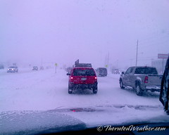
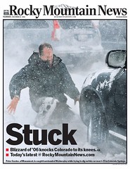
A few short days later, that all changed in a big way. A slow moving low pressure system coupled with upslope flow and copious amounts of moisture provided the perfect setup for a historical winter storm whose effects would be felt for months. Snow began falling on the morning of the 20th and by the early afternoon blizzard conditions began to set in and it was obvious we were in for one heck of a storm.
- Scroll down to view images from this incredible storm
- If you have pics from this event, please share them with us to add to the slideshow. You can email them to info@thorntonweather.com or share them with us on our Facebook page.
Businesses shut down early on the afternoon of the 20th in order to allow their employees extra time to make it home safe but by then a foot or more of snow had fallen across the Front Range. The governor called out the Colorado National Guard to help rescue stranded motorists who were in turn transported to area Red Cross shelters to wait out the storm.
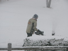
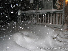
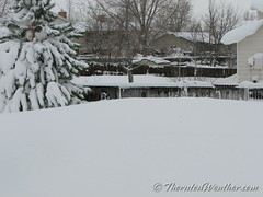
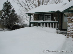
Heavy snow would continue nearly unabated for 34 hours. Strong winds added to the mess, creating monstrous snow drifts.
Every major interstate and highway in and out of Denver was shut down and RTD suspended all service in the city for the first time since 2003. Mail service on the 21st was canceled entirely as even the mail carriers couldn’t make their way to their appointed rounds. Most area businesses were forced to shut down on the 21st as employees couldn’t even make it out of their housing developments to get to work.
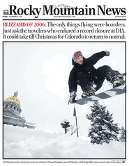
Air traffic at Denver International Airport was brought to a halt as our “all weather” airport shut down for 45 hours. Over 2000 flights were cancelled stranding over 5000 passengers in Denver and in other airports when flights were forced to divert to other locations.
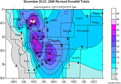
Officially, Denver recorded 20.7 inches as measured at the old Stapleton International Airport site. That put the storm into the record books as the Mile High City’s seventh biggest snowstorm on record. The snow would linger as well with at least one inch of snow cover remaining on the ground until February 19, 2007, the second longest period of snow cover on record.
Other metro area totals for the event included:
- 34 inches near Buckley AFB
- 32 inches in Littleton
- 30 inches in Thornton
- 30 inches near Castle Rock
- 29.5 inches in Parker
- 28 inches in Wheat Ridge
- 25.5 inches at Centennial Airport
- 25 inches at Niwot
- 24 inches in Aurora
- 22.5 inches at Greenwood Village
- 22 inches in Arvada
- 21.5 inches in Lakewood
- 20 inches in Longmont
- 15.5 inches in Boulder

