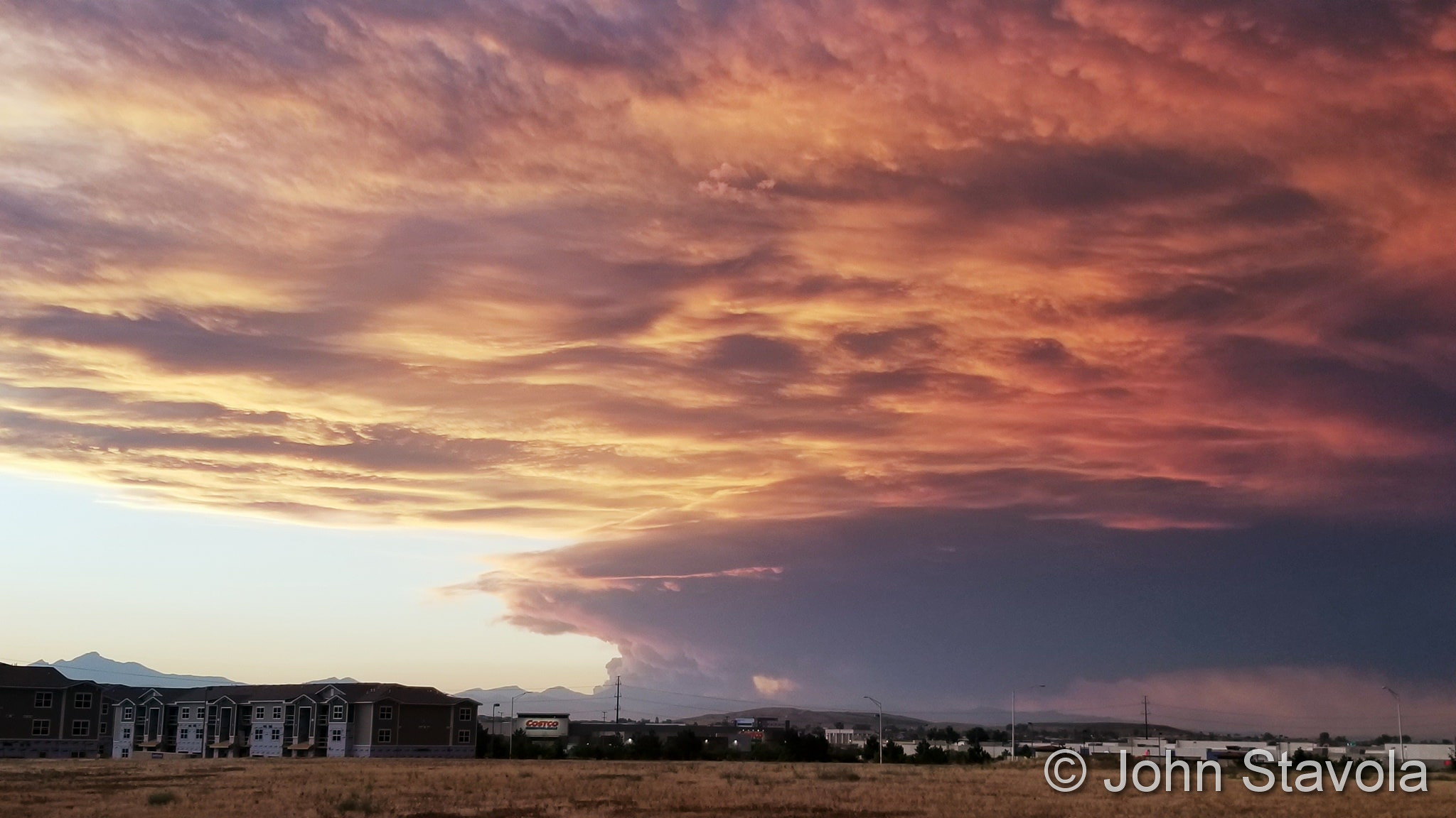
Halloween week is historically pretty eventful when it comes to weather. Wind is always a factor this time of year as gusty Chinook winds can come flying down the mountains and foothills and cause a great deal of damage. Snow of course also becomes more frequent as we get closer to our second snowiest month (November).
From the National Weather Service:
From the 24th to the 25th:
In 1921…rainfall totaled 0.35 inch overnight behind an apparent cold front. North winds were sustained to 40 mph with gusts to 46 mph on the 25th. Temperatures plunged from a high of 73 degrees on the 24th to a low of 39 degrees on the 25th.
In 1923…rain overnight changed to snow during the morning. The heavy snowfall accumulated to 12.0 inches before ending on the morning of the 25th. Post-frontal north winds were sustained to 22 mph with gusts to 23 mph on the 24th.
In 1997…one of the worst and deadliest blizzards of the decade developed over eastern Colorado as deep east to northeast flow associated with a vigorous upper level low pressure system over the four corners…combined with a strong arctic air mass over the central great plains. Snowfall totals across metro Denver ranged from 14 to 31 inches. The heaviest snowfall occurred in the foothills west and southwest of Denver where 2 to 4 feet of snow were measured. Sustained winds to 40 mph with gusts as high as 60 mph produced zero visibilities and extremely cold wind chill temperatures from 25 below to 40 below zero. Winds whipped the snow into drifts 4 to 10 feet deep. Several major and interstate highways were closed as travel became impossible. Red cross shelters were set up for hundreds of travelers who became stranded when they had to abandon their vehicles. Four people died in northeastern Colorado as a result of the blizzard. None of the deaths were in metro Denver. At Denver International Airport…4 thousand travelers were stranded when the airport was forced to shut down. At least 120 cars were abandoned along Pena Blvd….the only arterial leading into and out of dia. The blizzard cost air carriers at least 20 million dollars. Thousands of cattle died in the storm over northeastern Colorado…resulting in losses totaling 1.5 million dollars. Some of the more impressive snowfall totals included: 51 inches at Coal Creek Canyon; 48 inches at silver spruce ranch…near ward; 42 inches at Intercanyon…in the foothills southwest of Denver; 37 inches at Sedalia; 35 inches at aspen springs and Conifer in the foothills west of Denver; 31 inches at Eldorado Springs… Southeast Aurora…and Englewood; and 30 inches on Table Mesa in Boulder. Snowfall totaled 21.9 inches at the site of the former Stapleton International Airport…setting a new 24-hour snowfall record of 19.1 inches for the month. Snowfall totaled only 14 inches at Denver International Airport where north winds gusted to 39 mph on the 24th. High temperature of only 21 degrees on the 25th equaled the record low maximum for the date first set in 1873. Low temperature of only 3 degrees on the 26th set a new record minimum for the date.
On the 25th:
In 1925…a vigorous cold front produced north winds sustained to 42 mph with gusts to 52 mph. Post-frontal snowfall was only 0.4 inch during the late afternoon and early evening.
In 1959…northwest winds gusted to 55 mph at Stapleton Airport.
In 1997…the high temperature warmed to only 21 degrees… The record low maximum for the month. The same temperature also occurred on October 30…1991.
From the 25th to the 26th:
In 1996…4 to 6 inches of snow fell in the foothills west of Denver. Only 1.5 inches of snowfall were measured at the site of the former Stapleton International Airport on the 26th. This was the only measurable snow of the month at the site. The snowfall produced icy and snowpacked highways…which resulted in a 50-to 60-car pileup on I-25 south of metro Denver. West winds gusted to 33 mph at Denver International Airport.
In 2006…a winter storm brought heavy snowfall to metro Denver and the eastern foothills. Total snowfall ranged from 12 to 22 inches over the higher terrain and 6 to 12 inches across metro Denver. Northerly winds at sustained speeds of 20 to 30 mph with gusts as high as 47 mph at Denver International Airport whipped the snow into drifts 3 to 4 feet deep. Many tree limbs snapped under the weight of the heavy…wet snow which also downed power lines… Leaving thousands of residents without power. Storm total snowfall included: 25 inches near aspen springs…Conifer… And Evergreen; 23.5 inches near Rollinsville; 23 inches in Idaho Springs; 22.5 inches near Blackhawk; 21.5 inches near bailey; 19 inches near Bergen Park; 18 inches near Aspen Springs…Genesee… And Jamestown; 17 inches southwest of Boulder; 16 inches in Evergreen; and 15 inches near Georgetown and Perry Park. Snowfall totaled 5.3 inches in the Denver Stapleton area. At Denver International Airport…rain…including a thunderstorm… Changed to snow on the evening of the 25th after a high temperature of 70 degrees.
In 2010…a storm system brought heavy snow to the mountains west of Denver. Storm totals included: 24 inches at the Eisenhower Tunnel…18 inches at Loveland Ski Area; with 16 inches at Arapahoe Basin.
From the 25th to the 27th:
In 1897…a major storm dumped 13.5 inches of snowfall over downtown Denver. Rain changed to snow during the evening of the 25th and continued through mid-morning of the 27th. Most of the snow…12.0 inches… Fell on the 26th when north winds were sustained to 36 mph and gusts were as high as 46 mph. Temperatures during the storm were in the 20`s and lower 30`s. Precipitation (rain and melted snow) totaled 1.21 inches.
On the 26th:
In 1995…winds gusting from 100 to near 110 mph pounded the foothills northwest of Denver. At Nederland winds gusted to 100 mph and to 70 mph in Coal Creek Canyon. Atop Squaw Mountain west of Denver wind gusts to 108 mph were recorded. The strong winds downed some trees and caused power outages. West-northwest winds gusted to 47 mph at Denver International Airport.
In 2010…very strong winds during the day knocked down power lines in parts of Boulder. The downed electrical lines sparked a small brush fire near Columbine Elementary School. Strong wind gusts also damaged the tennis bubble at the Millennium Harvest House. In Northglenn, a tree was knocked down and caused minor damage to a mini-van parked nearby. Peak wind gusts included: 70 mph at Berthoud…67 mph at Rocky Mountain Metropolitan airport in Broomfield… 63 mph at the Rocky Flats National Wind Technology Center and 59 mph at the NCAR Mesa Laboratory…3 miles southwest of Boulder. West winds gusted to 43 mph at Denver International Airport.
In 2011…a powerful early season storm brought heavy snow to the Front Range and adjacent plains. The heavy…wet snow caused extensive downed large branches and in some cases…entire trees. Massive power outages occurred from Fort Collins and Greeley south to Denver and the surrounding metro area. Most of the trees still had their leaves…which helped to catch snow and down trees under the weight of the moisture laden snow. Nearly two hundred thousand utility customers along the Front Range were without heat and electricity for several hours. The Red Cross opened four temporary shelters overnight until the power could be restored. The outages also forced the closure of the Boulder criminal justice center the following day. The fallen trees and branches also caused extensive property damage to roofs and automobiles. In the Front Range mountains and foothills…storm totals included 19.8 inches…3 miles west of Jamestown; 18 inches…5 miles west of Copper; 13 inches… 3 miles north of Blackhawk and 3 miles south of Evergreen…4 miles east-northeast of Nederland and Lake Eldora; 12 inches at Berthoud SNOTEL. Across the urban corridor storm totals included: 11.5 inches in Boulder; 9.5 inches at the National Weather Service in Boulder; 9 inches…1 mile southwest of Westminster; 8.5 inches in Broomfield… Denver International Airport…Frederick and Louisville; 8 inches in Aurora…7 inches in Watkins; with 6 inches in Arvada.
From the 26th to the 27th:
In 1971…strong winds raked Boulder. At the National Bureau of Standards wind gusts to 62 mph were recorded…while in downtown Boulder winds peaked to 48 mph. At Stapleton International Airport…northwest winds gusted to 38 mph on the 26th and north winds gusted to 36 mph on the 27th.
In 1976…the first measurable snow of the season turned into a major storm. Traffic was halted for several hours on highways to the west of Denver where 8 to 12 inches of snow fell in the foothills. Snowfall totaled 7.2 inches at Stapleton International Airport where north winds gusted to 30 mph. Most of the snow…6.3 inches… Fell all day on the 26th. The greatest snow depth on the ground was 5 inches on the morning of the 27th.
On the 27th:
In 1980…the first snowfall of the season totaled only 1.5 inches with 0.10 inch of moisture at Stapleton International Airport where the maximum snow depth on the ground was only 1 inch due to melting. This was the only measurable precipitation of the month…making it the driest October since 1962 when only 0.03 inch of precipitation was measured.
In 1994…wind gusts to 70 mph were recorded atop squaw mountain…5 miles south of Idaho Springs… And at Rollinsville in the foothills southwest of Boulder. Northwest winds gusted to 28 mph at Stapleton International Airport.
From the 27th to the 28th:
In 1874…strong west winds in Boulder along with a reported tornado produced 150 dollars in damage.
In 1913…a strong cold front produced sustained northeast winds to 35 mph with gusts as high as 38 mph on the 27th. Overnight snowfall totaled 5.8 inches. Temperatures plunged to a low of 17 degrees on the morning of the 28th after a high of 60 degrees on the 27th.
From the 27th to the 30th:
In 2009…a powerful early season storm brought heavy snow to the Front Range. The combination of a deep northeasterly upslope flow coupled with abundant moisture and lift with the developing storm system produced an extended period of moderate to heavy snowfall. The heavy wet snow accumulated on trees and resulted in broken branches and scattered electrical outages. Interstates 70 and 76 were closed east of Denver. Numerous other roads and highways were shut down. The Red Cross set up numerous emergency shelters for stranded travelers. The blowing snow at Denver International Airport forced the cancellation of hundreds of flights. Schools were also closed. In the foothills storm totals included: 46 inches… 3 miles southeast of Pinecliffe; 42 inches…3 miles southwest of Conifer; 34 inches…3 miles north of Blackhawk; 30 inches at Aspen Springs and near Evergreen… 23 inches at Roxborough Park…and 20 inches… 3 miles south-southeast of Morrison. Across the urban corridor storm totals included: 25 inches in Highlands Ranch; 21.5 inches near Louisville…20.5 inches in Broomfield… 20 inches at Lafayette…17.5 inches in Boulder… 17 inches in Westminster…16.5 inches in Erie; 15.5 inches in Arvada and 5 miles west-northwest of Littleton…15 inches in Littleton…14 inches in Englewood… 13.5 inches in Lakewood and 6 miles north of Thornton; 13.3 inches at Denver International Airport…11 inches… 4 miles south of Denver; 10.5 inches…2 miles north of Cherry Hills Village and Niwot.
On the 28th:
In 1917…post-frontal snowfall totaled 6.5 inches in the city. North winds sustained to 30 mph with gusts to 33 mph caused the temperature to plunge from a high of 58 degrees to a low of 9 degrees by midnight.
In 1967…winds gusted to 65 mph in downtown Boulder… Causing minor damage. South winds gusted to 32 mph at Stapleton International Airport.
In 1991…the first major snow of the season hit metro Denver as a cold arctic air mass moved over the area. Snowfall amounts across northeast Colorado ranged from 3 to 10 inches with 4.4 inches of snowfall recorded at Stapleton International Airport where north winds gusted to 22 mph. The low temperature dipped to 13 degrees.
In 1993…high winds buffeted the Front Range foothills. A wind gust to 83 mph was recorded atop squaw mountain…35 miles west of Denver…and a gust to 76 mph occurred near Rollinsville southwest of Boulder.
From the 28th to the 29th:
In 1993…an upper level disturbance combined with a moist upslope flow to bring heavy snow to portions of metro Denver. Snowfall amounts ranged from 5.4 inches at Stapleton International Airport to 14 inches in Boulder. New snowfall totaled 8 inches at Gross Reservoir in the foothills 5 miles southwest of Boulder. On the 28th…north winds gusted to 30 mph at Stapleton International Airport where the temperature climbed to only 25 degrees on the 29th…equaling the record low maximum for the date.
From the 28th to the 30th:
In 1971…a vigorous cold front plunged temperatures from a high of 70 degrees on the 27th to record low levels on the 29th and 30th. Snowfall totaled 3.1 inches at Stapleton International Airport where north winds gusted to 23 mph. Some freezing drizzle also fell on the 28th. Record daily low maximum temperatures of 32 degrees on the 28th and 25 degrees on the 29th were established along with a daily record minimum of 13 degrees on the 30th.
From the 28th to the 31st:
In 1929…rain changed to snow on the afternoon of the 28th and continued until midday on the 30th followed by intermittent light snow which continued through the 31st. Snowfall over the four days totaled 16.2 inches in the city. Most of the snow…8.5 inches… Fell on the 29th with 6.1 inches on the 30th. Temperatures hovered in 20`s during most of the storm.
On the 29th:
In 1917…the all-time lowest recorded temperature in October…2 degrees below zero… occurred. This is also the earliest below zero reading of the season.
In 1939…the first measurable snow of the season totaled 5.6 inches in downtown Denver. Post-frontal northeast winds were sustained to 28 mph.
In 1961…heavy snowfall measured 6.0 inches at Stapleton Airport where northeast winds gusted to 30 mph.
In 1973…strong winds caused some damage to homes…stores… And utility lines along the foothills from metro Denver south.
In 1981…high winds buffeted the Front Range foothills with gusts to 55 mph in south Boulder.
In 1996…high winds gusting from 70 to around 100 mph blasted metro Denver. One man was killed when a strong wind gust overturned a pop-up camper onto him while he was trying to secure it. In addition…five people at the Rocky Flats Environmental Test Facility received minor injuries when several windshields were blown out of their cars…spraying glass onto the occupants. Several trees and power lines were also downed. Two 75-foot high pine trees were uprooted at the Mt. Olivet cemetery in Arvada. Property damage from the windstorm ran into the millions of dollars. The highest recorded wind gusts included: 101 mph at Jefferson County Airport near Broomfield…100 mph in Golden Gate Canyon… 96 mph in Coal Creek Canyon…and 87 mph at upper Table Mesa in Boulder. West-northwest winds gusted to 43 mph at Denver International Airport. Insured damage from the wind storm totaled 5.2 million dollars…the third most costly storm of record in Colorado at the time.
In 2003…strong Chinook winds developed in and near the Front Range foothills. Winds gusting to 80 mph in Boulder downed several trees and power lines…causing damage and triggering scattered electrical outages. The combination of strong winds…very dry fuel conditions… And downed power lines sparked two large wildfires. The overland wildfire in Boulder County…near Jamestown… Consumed nearly 3900 acres and destroyed 12 structures…including homes…trailers… And out-buildings. Preliminary damage estimates for the value of lost property was nearly one million dollars. In Douglas County…the Cherokee Ranch Wildfire consumed 1200 acres and destroyed 4 structures. The large smoke plumes from both fires were highly visible across metro Denver. West winds gusted to 45 mph at Denver International Airport.
From the 29th to the 30th:
In 1905…heavy snowfall developed on the evening of the 29th and continued through the evening of the 30th. Snowfall totaled 11.0 inches in downtown Denver. Precipitation was 1.02 inches. Temperatures were generally in the 20`s.
In 1959…rain during most of the day on the 28th changed to snow early on the 29th and continued through most of the 30th. Heavy snowfall totaled 7.4 inches at Stapleton Airport. North-northeast winds gusted to 24 mph on the 30th. Some freezing drizzle also occurred on the 30th.
In 1981…4 to 8 inches of new snow were recorded in the foothills west of Denver. Snowfall totaled only 0.4 inch at Stapleton International Airport where north winds gusted to 25 mph.
From the 29th to the 31st:
In 1889…the first snowfall of the season totaled 14.0 inches over the three days in downtown Denver. Snowfall was 8.0 inches on the 29th and 5.0 inches on the 31st. North to northeast winds gusted to 30 mph on the 29th.
In 1950…a warm spell resulted in five daily temperature records. Record highs of 84…80… And 79 degrees occurred on the 29th…30th…and 31st… Respectively. Low temperature of 49 degrees on the 30th was the record high minimum for the date.
In 1991…the second surge of cold arctic air in a matter of days plunged metro Denver into the deep freeze. While low temperatures remained above zero…high temperatures were only in the 20`s. Three temperature records were set: record lows of 7 degrees on the 30th and 10 degrees on the 31st and a record low maximum of only 21 degrees on the 30th. Snowfall was light with only 1.9 inches recorded at Stapleton International Airport where east winds gusted to 23 mph.
In 2002…snowfall totaled 4.3 inches at the site of the former Stapleton International Airport. North winds gusted to 32 mph on the 29th behind a cold front…which plunged temperatures well below seasonal normals. High temperatures of 18 degrees on the 30th and 19 degrees on the 31st were record low maximums for each date. Low temperatures dipped to 12 degrees on the 30th and 15 degrees on the 31st.
From the 29th to the 1st:
In 1972…heavy snowfall totaled 15.5 inches at Stapleton International Airport. However…the heaviest snow occurred on Halloween night when 7 inches fell on trick-or-treaters during a short 3-hour period. I-25 was closed south of Denver. North winds gusting to 29 mph caused some blowing snow on the 1st. The snow started late on the 29th and ended during the mid afternoon on the 1st. The greatest snow depth on the ground at Stapleton International Airport was 13 inches on the 1st.
On the 30th:
In 1974…a rare thunderstorm for so late in October produced hail to 3/8 inch in diameter and 0.10 inch of rain at Stapleton International Airport.
In 1991…the high temperature warmed to only 21 degrees… The all-time record low maximum for the month of October. The same temperature also occurred on October 25…1997.
On the 31st:
In 1997…high winds buffeted the foothills and adjacent areas of metro Denver. West winds gusted to 70 mph in Broomfield and to 40 mph at Denver International Airport. The strongest winds occurred in the mountains west of Denver and in the foothills north of Denver.
In 2001…high winds developed in the foothills. Peak wind gusts were measured to 74 mph at the National Center for Atmospheric Research on the mesa in Boulder and to 72 mph near Rollinsville. West winds gusting as high as 53 mph warmed the temperature to a high of 71 degrees at Denver International Airport.
From the 31st to the 1st:
In 1951…6.4 inches of snowfall were measured at Stapleton Airport.
In 1989…a Halloween storm dropped 3 to 6 inches of snow on metro Denver with the adjacent foothills receiving 5 to 10 inches. Snowfall totaled 4.5 inches at Stapleton International Airport…where north winds gusted to 31 mph on the 31st. Most of the snow fell on the evening of the 31st…but the storm left icy streets throughout metro Denver on the morning of the 1st…making it a “spooky” commute for many motorists.
In 2004…heavy snow fell in and near the foothills of Jefferson and Douglas counties. Storm total snowfall included: 14.5 inches in aspen park…10 inches at Roxborough State Park and near Sedalia…8 inches near Bergen Park… And 7 inches in Highlands Ranch. Snowfall totaled only 3.2 inches in the Denver Stapleton area. Post-frontal northeast winds gusted to 41 mph at Denver International Airport.


 With the first full month of fall here, October usually brings one of the quietest weather months in the Denver area with plenty of mild, sunny days and clear, cool nights.