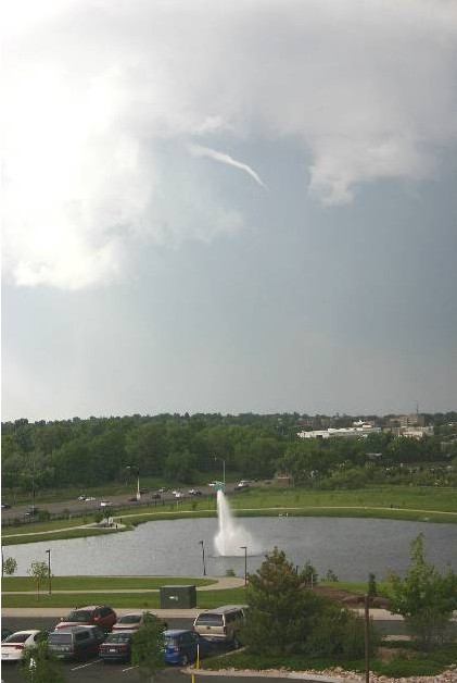
As summer 2009 comes to a close, it is perhaps most fitting that fall arrives with nearly winter-like weather. We ushered in the summer a month early with a record setting high temperature and soon followed that up with a near constant stream of severe weather for weeks. In fact, most of the events during what was a very active summer season actually occurred in the weeks leading up to the official start of summer.
Even though the official start of summer was a month away, May 19th seemed to be an unofficial start as the mercury climbed to 90 degrees that day setting a new record for the date. The very next day in perhaps what was a sign of things to come, a tornado touched down in Mesa County – only the ninth to strike in that county since 1950.
On May 24th, the first of many severe weather days arrived bringing rain totals of more than an inch to some areas of the Front Range and a funnel cloud over Aurora. As the afternoon progressed the severe weather continued and three tornadoes had been reported in the metro area.
After a couple weeks of relative calm, the severe weather once again appeared and on June 7th funnel clouds and tornadoes seemed to be appearing everywhere. From the north metro area in Broomfield to Aurora, most of the Front Range had some sort of direct severe weather threat. Most notably,the Southlands Shopping Center was struck by an EF1 tornado where extensive damage to the mall occurred.
 All of that was only a start to what was a very eventful summer for Thornton and Denver! Read the rest of this story on Examiner.com!

What a crazy summer it was! I think it is interesting that while the Denver area was hammered with severe weather, the season was relatively quiet elsewhere.