Tag Archives: Cold Temperatures

National Weather Service revises some cold weather watches and warnings

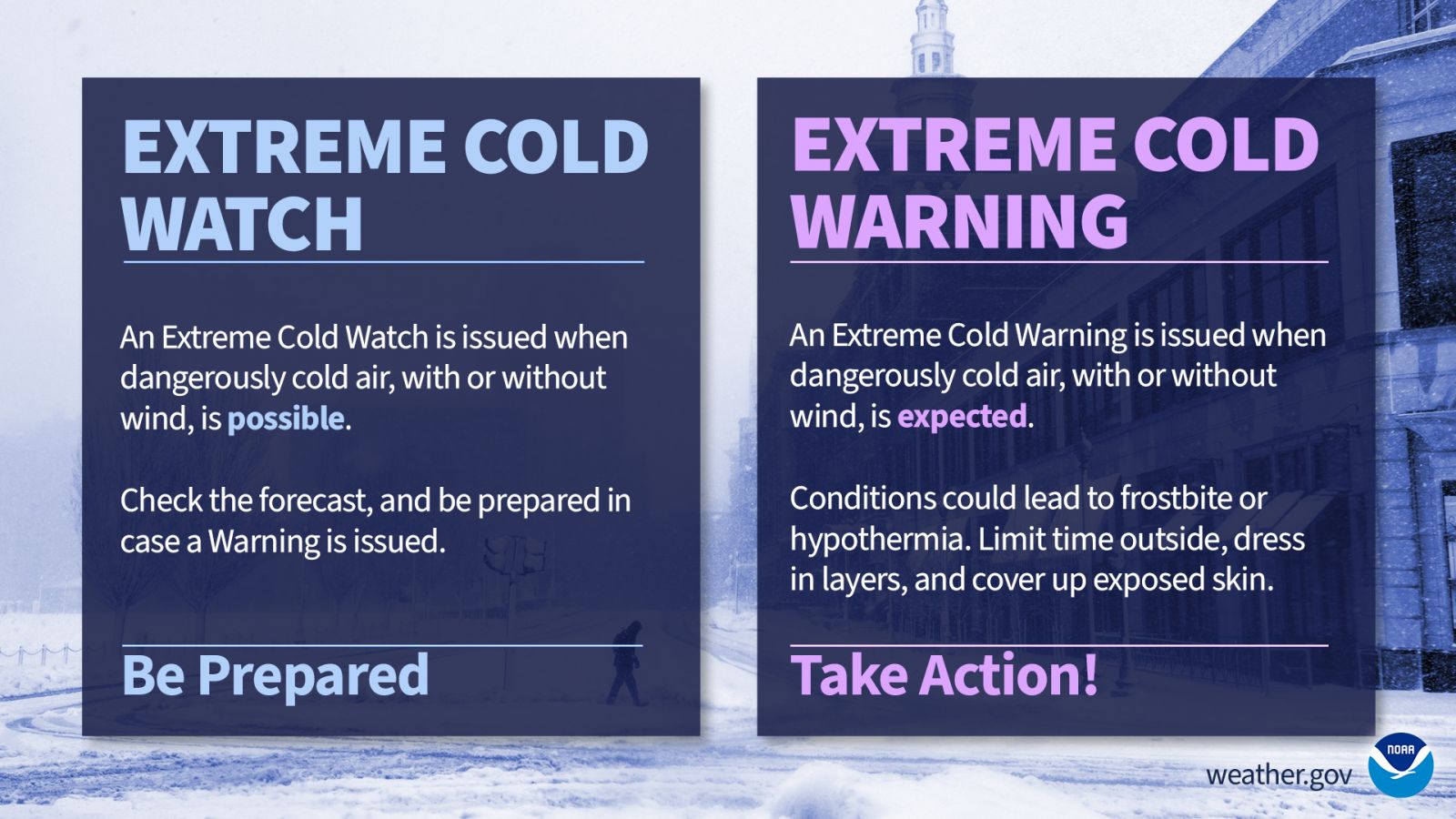
National Weather Service extreme cold watch and warning.

Wind chill watches, warnings and advisories are now a thing of the past. The National Weather Service has announced that in an effort to simplify the message these products are meant to convey, they will instead me called “Extreme cold” watches, warnings and advisories.

From the National Weather Service:

Hazard Simplification project seeks to simplify weather messaging

Cold weather can be deadly – people exposed to extreme cold are susceptible to frostbite and can succumb to hypothermia in minutes. So as we prepare for the frigid wind chills and sub-freezing temperatures that winter can bring, NOAA’s National Weather Service is simplifying a suite of cold weather forecast products to improve messaging of winter hazards and provide better decision support.

This effort is part of the Hazard Simplification initiative which integrates public and partner engagements and social science research to improve and evolve our alerting system.

The following changes will take place on Oct. 1:

Extreme Cold Consolidation and Renaming

  • Wind Chill Watches will be renamed to an Extreme Cold Watch
  • Wind Chill Warnings will be renamed to an Extreme Cold Warning
  • Wind Chill Advisory will be renamed a Cold Weather Advisory

Freeze Consolidation

  • Hard Freeze Watches will be renamed to a Freeze Watch
  • Hard Freeze Warnings will be consolidated to a Freeze Warning

These changes seek to clarify that cold can be dangerous with or without wind, addressing a common misconception that extreme cold is only tied to colder temperatures when there is wind. Dangerously cold weather can accompany or follow wintry precipitation, and the cold messaging can be overshadowed by the wintry precipitation.
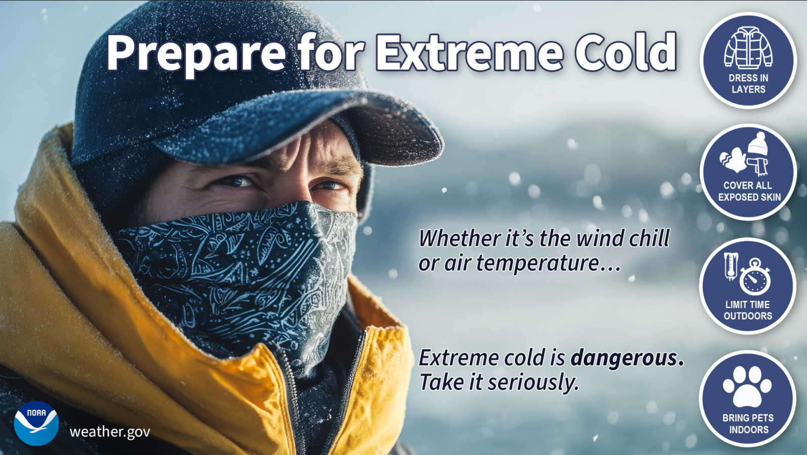
Prepare for Extreme Cold. (National Weather Service)

Thornton and Denver record their first freezing temperature of the season

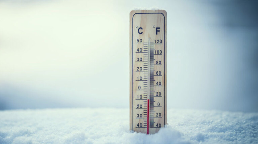
Cold thermometer

Better late than never? Unseasonably warm and dry conditions have been the hallmark of October so far. Today, we finally got a taste of the temperatures we normally expect to see.

Just before sunrise, both Thornton and Denver saw temperatures drop to 32 degrees marking the first freeze of the season. This comes more than 2 1/2 weeks after the average date of the first freeze in Denver of October 7th.

With that reading the book, we do continue to wait for our first snow of the season. That may come early to mid-week next week.

Colorado Winter Weather Preparedness Week introduction

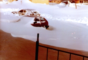
Don't be caught off guard by winter weather! Remember the Christmas Eve Blizzard of 1982? Be prepared!
Don’t be caught off guard by winter weather! Remember the Christmas Eve Blizzard of 1982? Be prepared!

Winter weather in Colorado can be an inconvenience but more than that it can be deadly.  Emergency preparedness for major winter storms – as well as for other types of severe weather – is an important part of living in a state where conditions can change wildly from one moment to the next.

To help raise awareness of the need to be prepared for these occasions, the week of October 16th to October 22nd has been proclaimed Winter Weather Preparedness Week in Colorado.

The National Weather Service will be issuing Public Information Statements each day this week to highlight the dangers of winter weather and how best to be prepared.  ThorntonWeather.com will be posting these important messages here to help you be prepared.  Please take the time to read and heed these messages – your life and the lives of your loved ones could depend on it.

  • Stay up to date with Thornton’s weather: ‘Like’ us on Facebook and follow us on Twitter.

From the National Weather Service:

PUBLIC INFORMATION STATEMENT
NATIONAL WEATHER SERVICE BOULDER CO
600 AM MDT SUN OCT 16 2022

..Winter Weather Preparedness Week in Colorado…

The week of October 16th through October 22nd is Winter Weather Preparedness Week in Colorado. This is an excellent time for all individuals, families, businesses, schools, and media outlets to review their winter storm preparedness plans. It is especially important for all new arrivals to the state to become familiar with the National Weather Service watch and warning definitions, as well as winter safety procedures.

Snow in Colorado is important to the farmers, the ski areas, and for filling up reservoirs. However, winter storms often bring heavy snow, bitter cold air, high winds, low visibilities and slick roads. This can lead to dangerous travel conditions and other life threatening situations such as avalanches and very frigid wind chill temperatures.

To help you prepare for these hazards this coming winter, the National Weather Service will issue statements throughout the week to discuss:

Intro Winter Weather Preparedness Week
Part 1 Winter travel safety
Part 2 Watches…warnings…and advisories
Part 3 High winds
Part 4 Wind chill temperatures and hypothermia
Part 5 Avalanche safety
Review Winter Weather Preparedness Week review

Californians struggle with “bitter cold” temperatures

While northeastern Colorado deals with unusually cold temperatures stubbornly dropping below freezing and even 0°, California has been seeing their own spell of “bitter cold” weather.  Of course their definition of “cold” and ours are quite different as highlighted in a clip from Jimmy Kimmel Live.

Somehow we here at ThorntonWeather.com aren’t feeling too much sympathy for those in the Golden State.  😉

So how cold did it get in Thornton? Cold enough to freeze boiling water instantly

ThorntonWeather.com tested the theory that boiling water turns to ice crystals when thrown into sub-zero air.  It worked! Check out the video below. (ThorntonWeather.com)
ThorntonWeather.com tested the theory that boiling water turns to ice crystals when thrown into sub-zero air. It worked! Check out the video below. (ThorntonWeather.com)

To say it has been cold would be a major understatement.  Yesterday Denver’s “high” temperature only reached -2 degrees and this morning DIA dropped to -17 degrees, one degree shy of the record low temperature for the date.  We decided to have a little fun with the cold weather in our Thornton backyard yesterday. 

One fun experiment to do when the temperatures is so cold is to demonstrate how boiling hot water instantly freezes when thrown in the air.  We figured it would make a great story for our work on Examiner.com and thought we would share the results here.

Your intrepid local weather geek conducted the experiment at a time when the sun was partially shining but the temperature was a bone chilling 1.4 degrees below zero.  For what it is worth, with a 9 mph wind that was generating a wind chill of 14 degrees below! 

The experiment is conducted simply using a pot of boiling water.  When the water is taken outside in zero degree or colder weather and thrown into the air, the water instantly freezes in a cloud of ice crystals. 

It is interesting to note that if you do this with cold water, you simply end up dumping water everywhere – it doesn’t freeze!  That of course begs the question, how does boiling hot water freeze faster than cold water?

This phenomenon actually has a name – the Mpemba effect – named after Erasto Mpemba, a student in Tanzania in the 1960s who studied it.  While it is named after Mpemba, other luminaries including Aristotle spent time analyzing it.

Dr. Joe Larsen, a chemist at the Rockwell Science Center in Los Angeles, explains that the hot water breaks into tiny droplets when it is thrown because it is close to being steam.  The heat from the small droplets freezes virtually instantly resulting in the ice crystal cloud. 

This doesn’t happen with cold water because it is thicker and in a closer to solid state (or at least not as close to turning to evaporative gas as the boiling water is).  As such, it doesn’t break up as easily and falls to the ground in blobs. 

So, for those of you with kids at home because school is canceled, you can now put their time to good use by conducting a science experiment in the cold!

Ready for snow and freezing temperatures? They can come at any time now

Are you ready? As September comes to a close and with fall's arrival cold and snow aren't far behind usually.

Wednesday marked the first day of fall and while the forecast may not call for freezing temperatures or snow, it won’t be long before the Mile High City is faced with those conditions.  We have in fact already passed the earliest dates Denver has seen freezes and snow so they can arrive at any time. 

Denver has in fact seen snow as early as September 3rd and its first seasonal freeze as early as September 8th.  Those are the extremes however.  On average the first snowfall occurs on October 19th and the first freeze on October 7th.

How will we fare this year?  La Niña conditions are strengthening and the outlook is for warmer than normal temperatures for the next few months.  Colorado weather however doesn’t always follow an established pattern. 

Below is a look at Colorado’s cold season statistics as provided by the National Weather Service.  They provide a bit of historical perspective as to what we might expect this year.

  • The statistics below and many more are kept in our Climatology section. Check it out

Autumn First Freeze Information

Earliest Date of First Freeze: September 8, 1962
Latest Date of First Freeze: November 15, 1944
Average Date of First Freeze: October 7th
 
First Freeze Last 11 Years:
October 2, 2009
October 13, 2008
October 8, 2007
September 18, 2006
October 5, 2005
October 14, 2004
September 14, 2003
October 4, 2002
October 5, 2001
September 20, 2000
September 28, 1999
 
October 21st is the average date in which Denver’s normal overnight low temperature hits 32 degrees Fahrenheit for the first time.
 
Autumn First Snow Information
 
Earliest Date of First Snow: September 3, 1961
Latest Date of First Snow: November 21, 1934
Average Date of First Snow: October 19th
 
First Measurable Snow Last 11 Years:
October 21, 2009
November 14, 2008
October 22, 2007
October 18, 2006
October 10, 2005
November 1, 2004
November 5, 2003
October 25, 2002
October 5, 2001
September 23, 2000
September 28, 1999
 
Seasonal Snowfall Amounts

Greatest Seasonal Snowfall: 118.7 inches 1908-09
Least Seasonal Snowfall: 20.8 inches 1888-89
Average Seasonal Snowfall (1971-2000): 61.7 inches
 
Seasonal Snowfall Last 11 Years:
60.6 inches 2009-2010
38.1 inches 2008-2009
46.3 inches 2007-2008
72.6 inches 2006-2007
30.4 inches 2005-2006
39.3 inches 2004-2005
38.0 inches 2003-2004
61.8 inches 2002-2003
30.2 inches 2001-2002
58.3 inches 2000-2001
45.6 inches 1999-2000
 
Denver’s Snowstorm Total Snowfall Statistics
 
Greatest Snowfall From One Storm: 45.7 inches December 1-6, 1913 (recorded between December 4-5th 1913)
 
The Top 13 Denver Snowstorms since 1946:
31.8 inches Mar 18, 2003
30.4 inches Nov 3, 1946
23.8 inches Dec 24, 1982
21.9 inches Oct 25, 1997
21.5 inches Nov 27, 1983
21.2 inches Nov 19, 1991
20.7 inches Dec 20, 2006
18.7 inches Mar 5, 1983
17.7 inches Nov 19, 1979
17.3 inches Apr 1, 1957
16.9 inches Mar 20, 1952
16.0 inches Oct 3, 1969
15.8 inches Apr 26, 1972