ThorntonWeather.com’s owner and operator used to write for a now-defunct website called Examiner. This was a national site but with locally focused content. As the Denver Weather Examiner, Tony covered a number of topics related to Denver and Colorado weather.
Among them, he was always quick to point out how Denver’s weather records were being skewed by the move of Denver’s official weather station to Denver International Airport. In 2009, he wrote a three-part series explaining why this was an issue and why it mattered.
Fifteen years later, this continues to be a problem and thus we are re-publishing the series here. While the data is not current and some of the images were lost with time, readers can still understand and appreciate the problem.
Part 1: Do Denver weather and climate records have an asterisk attached?
Originally published March 2, 2009, Examiner.
February 2009 is Denver’s least snowiest February on record. A new record high temperature is recorded on January 21, 2009. Record low temperatures are recorded on December 14th and 15th of last year.
These announcements are common and we all take notice when we hear them and they make for great water cooler chat topics but are these claims accurate?
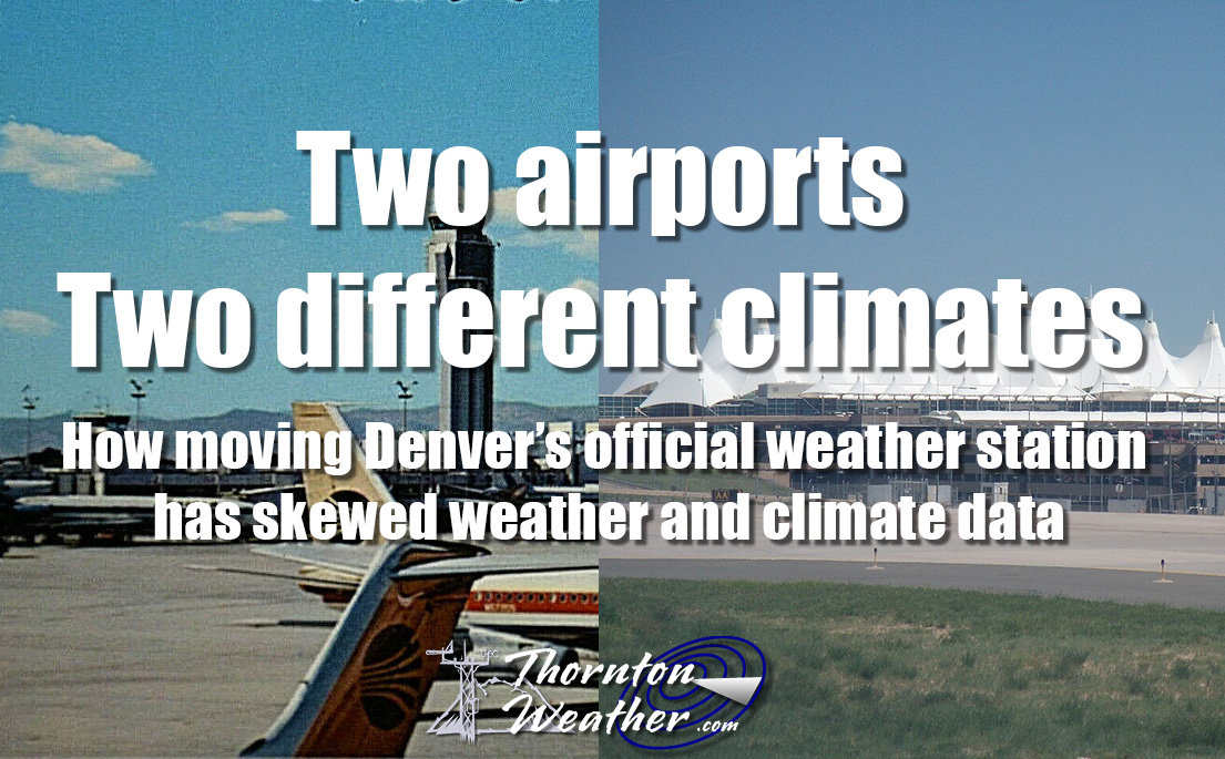
In 1995 Denver finally opened its new airport out on the plains east of the city. This new facility, 12 miles as the crow flies northeast of the old Stapleton International Airport, moved the airport from an urban environment to a rural one and more than 19 miles from the center of Denver. Following that move, the National Weather Service (NWS) began taking some of its official measurements at the glistening new airport. In doing so, some say Denver’s climate records have forever been altered and as such any weather record should have an asterisk attached to it.
Official Denver weather statistics were collected from the NWS’ downtown Denver office from November, 1871 to December 1949. In January 1950 observations were moved to Stapleton International Airport where they remained until February 1995. From March 1995 forward, Denver’s official weather has been measured at DIA. With the move, precipitation switched to Automated Surface Observing Systems (ASOS), an automated means of making the measurement. In a somewhat confusing twist, the measuring of snowfall remained at Stapleton until just this snow season.
Map:
The question many are asking – Does a move of 12 miles make that much of a difference when measuring the weather? Twelve miles is the same distance as between downtown and Golden, or downtown and Centennial or downtown and the northern edge of Thornton. How often do we hear about heavy snow falling at I-25 and C-470 and yet downtown remains dry? If you live in any of the outer metro area suburbs you know that what the news stations report as the weather downtown rarely is what you experience.
Twelve miles, particularly in a topographically and geographically diverse area as the Front Range would appear to make a world of difference. That is why when you watch the evening news local meteorologists include the conditions at their local station downtown in addition to the official data at DIA. Most local meteorologists have railed against the move and are quick to point out that the weather as measured at DIA does not reflect what Denver weather truly is.
When new records are announced, detractors point out that it isn’t fair to compare the data compiled at DIA with that which was recorded previously at Stapleton or downtown. Just yesterday the National Weather Service announced that February 2009 was the least snowiest on record. But was it really? The NWS says Denver received only a trace of snow (less than 0.1 inch) but this was at DIA. The vast majority of the metro area had at least some measurable snow during the month and Stapleton, where official records were kept for more than 40 years, had 0.8 inch of snow – a number that would push it well out of ‘least snowiest’ contention. Many say we are comparing apples and oranges.
Empirical data shows that every meaningful statistic has been skewed by the move to DIA. In this three part series we will take a look at how moving Denver’s official weather measurements to DIA have skewed Denver’s climate records and why it matters to you. Tomorrow we take a look at the empirical data showing just how big of a difference 12 miles makes. Wednesday we’ll tell you why it matters and learn about some possible solutions to the problem.
Stay tuned!
Two airports, two different climates. Read the series: