ThorntonWeather.com’s owner and operator used to write for a now-defunct website called Examiner. This was a national site but with locally focused content. As the Denver Weather Examiner, Tony covered a number of topics related to Denver and Colorado weather.
Among them, he was always quick to point out how Denver’s weather records were being skewed by the move of Denver’s official weather station to Denver International Airport. In 2009, he wrote a three-part series explaining why this was an issue and why it mattered.
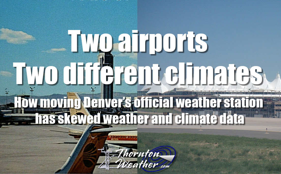
Fifteen years later, this continues to be a problem and thus we are re-publishing the series here. While the data is not current and some of the images were lost with time, readers can still understand and appreciate the problem.
Part 2: Data shows Denver weather records skewed by move to DIA
Originally published March 3, 2009, Examiner.
Did you hear February was Denver’s least snowiest month? Or was it? As we discussed yesterday, a growing chorus of voices are objecting to the National Weather Service’s use of measurements at Denver International Airport for official Denver weather record keeping. They claim that comparing data from DIA to previous records compiled for more than 40 years at Stapleton and more than 75 years before that in downtown isn’t a fair analysis.
In this second of a three part series, we take a look at some of the data to see just how big of a difference the 12 mile move from Stapleton to DIA made. We also investigate potential issues with accuracy at the automated monitoring station at DIA that could forever be altering our climate records. Tomorrow we will take a look at why all of this matters and why you should care.
Temperatures
An analysis shows that in just the last eight years DIA registers warmer high temperatures and cooler low temperatures than stations closer to downtown and in areas where people actually live. For our comparison, we compared the last eight years of data for Denver International Airport versus the measurements taken at Buckley Air Force Base. We chose Buckley because that is the closest official measuring station to the location of the old Stapleton International Airport.
<insert table>
As you can see, the differences between where measurements have been taken for the last 14 years at DIA and where they were taken previously is significant. DIA’s highest recorded temperatures each year averages nearly 2 degrees more than those closer to Denver. Similarly, the station’s low temperatures are more than 2 degrees cooler. This essentially throws any record high or record low temperatures that were recorded in the last 14 years out the window. Any comparison of today’s data with historical records taken at Stapleton are invalid because the location move to DIA has clearly impacted the measurements.
Precipitation
This is probably the single most astonishing statistic and helps to show just how much of a difference 12 miles can make. The National Weather Service has been taking precipitation measurements at both DIA and at the former Stapleton site so we can do a direct comparison between the two sites. The results are astonishing.
<insert table>
The chart clearly shows that precipitation measurements at DIA consistently underperform as compared to those at Stapleton. Over the 8 year period, DIA on average measures 13% less precipitation than Stapleton.
One year in particular stands out. In 2002 Colorado was in a drought by any measurement. At the end of the year the National Weather Service proclaimed it as Denver’s driest on record. However, that claim was based on measurements at DIA. If you use the measurements at Stapleton – where weather records were kept for more than 40 years – the claim doesn’t stand up to scrutiny. Stapleton’s 8.49 inches of precipitation in 2002, while certainly a dry, below normal year, would actually make it only the 6th driest year. It can easily be argued that the claim that 2002 was Denver’s driest year should be discarded.
As a more recent example, March 2008 was proclaimed the “third driest March on record” when a mere 0.17 inch of precipitation was recorded at DIA. However, 0.55 inch was recorded at Stapleton, an amount which would not put the month anywhere near the top 10 driest.
Snowfall
Historical snowfall measurement comparisons between the two locations unfortunately cannot be directly performed as it was only this year that the National Weather Service began measuring snow at DIA. However, we can infer from the precipitation measurements noted above that there will be a comparable discrepancy in snowfall measurements as well. This stands to reason as the plains receive less snow than areas closer to the mountains and going 12 miles east can make a big difference.
Issues of accuracy?
The precipitation and snowfall issue gets even further convoluted this year with the move to measuring snowfall at DIA. While this would seem to solve the problem of inconsistency between taking precipitation measurements at DIA but snowfall at Stapleton, it turns out things aren’t quite that easy.
Weather enthusiasts have noticed problems with recent snowfall and precipitation measurements. Just recently on Monday, January 12th, when a small snow storm moved through the Front Range the National Weather Service recorded 3 inches of snowfall but only 0.03 inch precipitation.
On average snow has a 10:1 moisture content which means that 1 inch of snow equals 0.1 inch of moisture. Using the standard, approximately 0.3 inch precipitation should have been recorded – 10 times what was actually reported.
Extending the observation period out to include the two month period from December 1, 2008 to January 31, 2009, similar problems have occurred. At Stapleton, where measurements are taken manually, 12 inches of snowfall was recorded with a moisture content of 1.08 inches – approximately an 11:1 ratio and one that could be expected. By contrast, DIA – using automated precipitation measurements – recorded 15 inches of snow but a meager 0.37 inch of precipitation. That is an unfeasibly dry 40:1 snow to precipitation ratio.
Detractors abhor the use of automated stations for such important climate records and are quick to point out that this is but one of many examples of inconsistent measurements. One former NWS employee said, “the NWS sold their soul to automation years ago” and as a result we are stuck with inaccurate records.
Two airports, two different climates. Read the series: