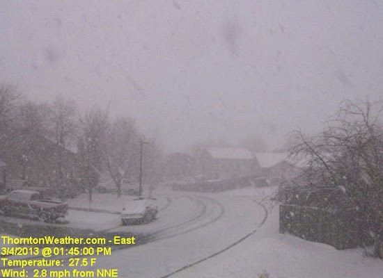
March is historically the Denver area’s snowiest month and only four days into it Mother Nature delivered a nice, wet shot of the white stuff. The storm moved through quickly Monday afternoon and now we focus on a potentially significant storm this coming weekend.
Today Thornton recorded 2.4 inches of snow and a very welcome 0.15” of liquid precipitation from it. Similar totals, many a bit less, were seen in other locations of the Denver metro area.
This brings Thornton’s seasonal snow total to 28.9 inches. That is still well below normal but given the progress made in recent weeks, we are hoping these storms continue to arrive.
As we discussed in this morning’s forecast, models are pointing toward a far more significant storm arriving as early as late Friday and lasting well into the weekend.
One model, the European ECMWF, has been relatively consistent with its projection of a powerful storm with a hefty shot of snow. Other models have been less optimistic but on later runs today they are starting to come in line with the same thinking.
This system will bear close watching. Click here for the latest forecast.
Below is a time lapse video of today’s snow showing 4 hours compressed to 8 seconds.
